
US Army Corps Confirms Aerial Mapping for Border Levee
PROGRESO – Markers are going in the ground and flyovers are happening in order to evaluate border security needs of the Valley levee system, according to the U.S. Army Corps of Engineers
The Army Corp of Engineers is mapping the levee system from Roma to "an area south of Mercedes," a spokesman said in a response to a CHANNEL 5 NEWS inquiry.
The release read:
"A U.S. Army Corps of Engineers contractor is gathering topographic data to help CBP plan its border security program."
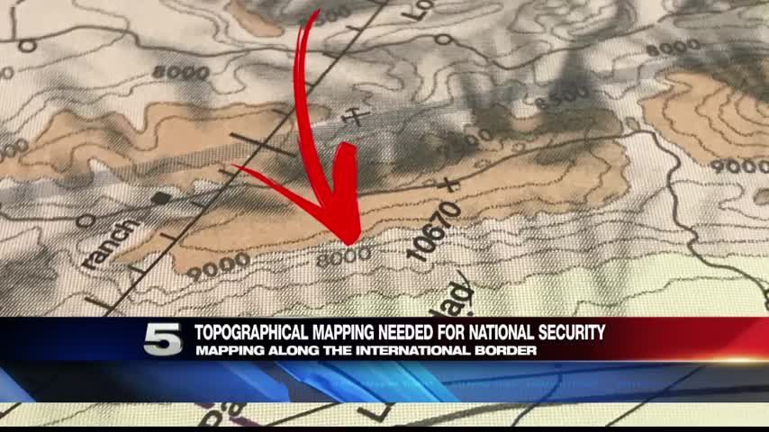
Topographical maps show changing elevations.
Aviation and mapping experts told CHANNEL 5 elevations can be determined from the air, using markers and photographs from at least two angles.
More News

Radar
7 Days

