USGS Releases Tool Designed to Monitor Current Water Levels
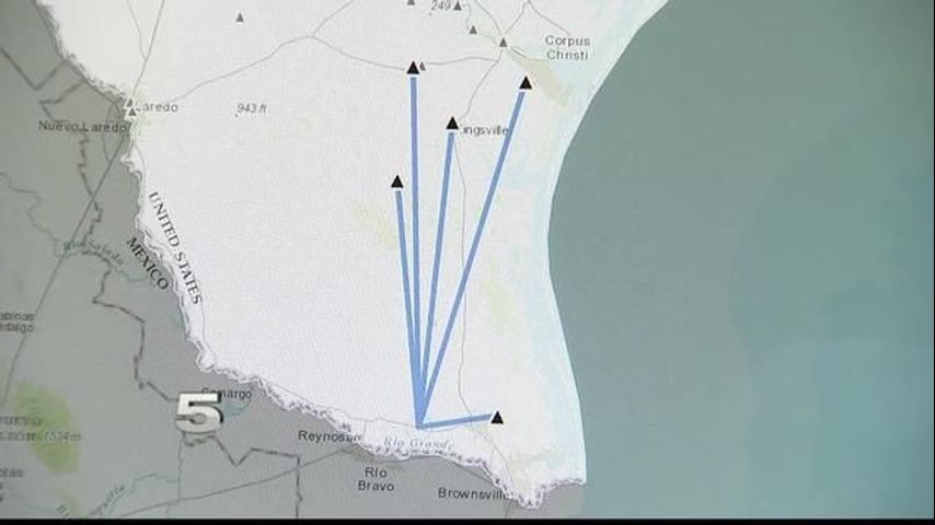
HARLINGEN – The U.S. Geological Survey released a mobile-friendly feature that tracks water levels in nearby rivers and streams online.
Harlingen resident Ann Johnston witnessed the Arroyo Colorado overflow on several occasions during Hurricane Dolly and Beulah.
“I’ve lived here my whole life, so I don’t think I’ve ever counted how many times I’ve seen it overflow… But I can remember three times very well,” she said.
Johnston told CHANNEL 5 NEWS floodwaters rushed into her backyard patio when Hurricane Dolly hit. She said there was little warning of the water overflowing at the time.
“Ramsey Park had lots of it underwater... We rescued pets with a little boat that we had, a 10-horse power motor. People helped each other,” she said.
Johnston said the tool might help her and her neighbors in the future.
We asked Tim Smith with KRGV First Warn 5 Tracking Center how Johnston can benefit from the new feature.
“It’s important we all know – if we live near a creek or stream – when it’s rising and how high it is and how it’s going to be,” he said. “So, it’s great to be able to have that information at your fingertips on your phone or on your computer screen… It’s really beneficial to those who live in flood-prone areas.”
A person can access the map with the use of a devices’ location. When water levels are above the average or perhaps overflowing, the application will mark the area with red.
While Johnston doesn’t expect another hurricane like Dolly or Beulah, she’s glad there’s something to alert her of rising waters.
According to the National Weather Service, floods kill about 80 people in the U.S. with nearly half of those deaths occurring in Texas.
Link: USGS Water On-the-Go
More News